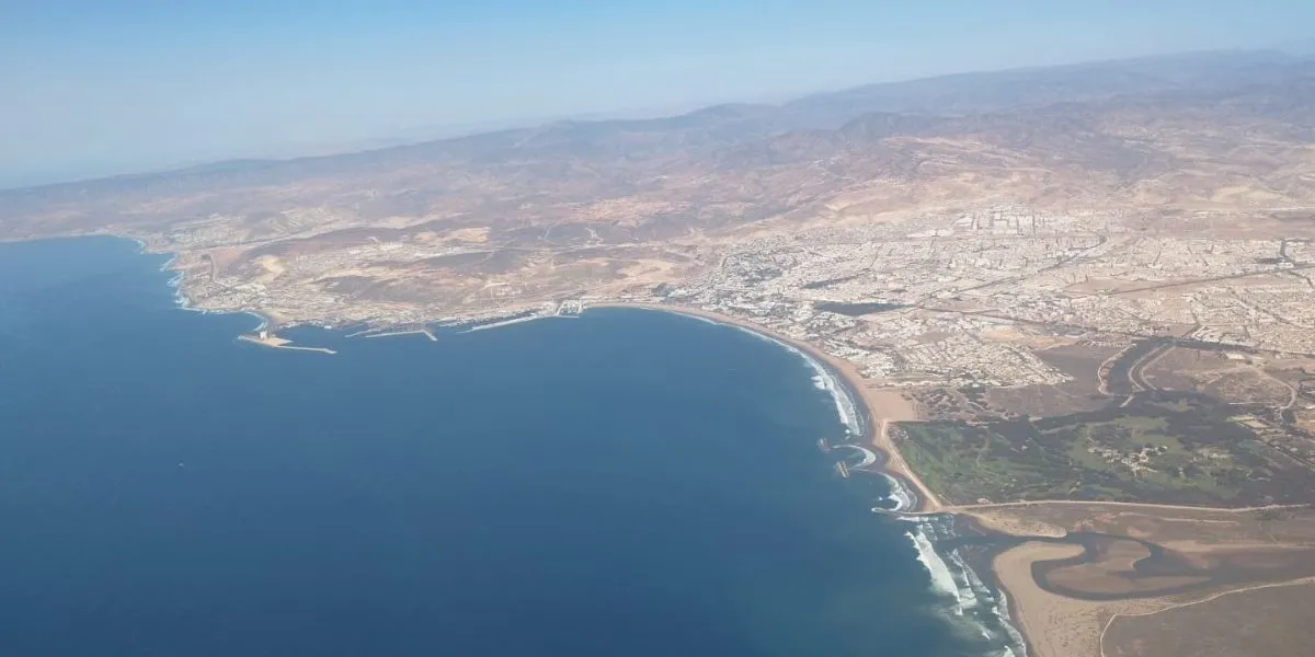

Initiation of the Maritime Public Domain Delimitation in Agadir
The Provincial Directorate of Equipment, Transport, and Logistics in Agadir Ida Outanane has commenced an operation aimed at delineating the legal boundaries of the maritime public domain, stretching from Imssouane to Oued Souss. This initiative encompasses 14 strategic coastal sections and is executed in accordance with Law 81-12 and the Dahir of 1914. The project is organized into three technical phases, which collectively aim to ensure the protection of the public domain through recognition, mapping, and physical demarcation.
In light of the increasing anthropogenic pressures on Morocco's coastline, the implementation of Law 81-12 and the National Coastal Plan has made the delimitation of the Maritime Public Domain (DPM) a critical legal security measure, vital for effective coastal land management. The Agadir Ida-Outanane prefecture faces a complex interplay of economic, touristic, infrastructural, and ecological challenges, raising essential questions regarding the precise boundaries of the public domain. The lack of established boundaries often leads to unauthorized occupations and hinders the management of risks associated with coastal erosion.
Criteria and Phases of the Delimitation Process
To address these challenges, the Ministry of Equipment and Water, through its Provincial Directorate in Agadir Ida-Outanane, has initiated a technical study aimed at establishing the parameters of this land regime across fourteen strategic sections. This comprehensive study will cover areas from the northern limit of Imssouane to the mouth of the Oued Souss in the south of the prefecture, including sensitive zones like Tamri, Aghroud sector, and the landing point of Taghazout, as well as the former site of La Madrague.
The identified area also encompasses beach and urban zones such as Imourane, Anza, and Founty, in addition to connections between ports and estuaries. This thorough coverage ensures complete land security along the maritime front of the Agadir Ida-Outanane prefecture.
The delimitation criteria for the DPM are based on the foundations of the Dahir of July 1, 1914, which defines the public domain as extending from the shoreline to the highest tide line, with an additional safety strip of six meters. This definition includes beaches, lagoons, and cliffs measured from their summits. Without prior decrees, the mission involves identifying these natural boundaries through meticulous field observations. In accordance with the directives from the General Directorate of Public Works and the Land Conservation Service dated March 13, 1917, the limits of the highest tides not determined administratively are established based on the general appearance of the shoreline and evidence collected on-site.
The boundaries are typically marked by changes in slope or soil type, such as the end of sandy beaches, the base of dunes, or the origin of vegetation. Given that the highest equinox tides rise significantly above these standard markers, the six-meter zone reserved for the public domain is measured from the limit of the highest tides with the greatest coefficient.
The study unfolds over an eight-month timeline and comprises three significant stages. The first phase focuses on topographic reconnaissance to visually identify natural limits, culminating in the presentation of a preliminary project for administrative validation. The second phase involves technical production, which includes the preparation of parcel plans, Lambert coordinate lists, and cross-sectional profiles. These documents integrate complex data such as the General Levelling of Morocco (NGM), cliff crests, adjacent roadways, and current land use (structures, infrastructure, vegetation), providing a comprehensive overview of the riparian conditions in preparation for the upcoming public consultation.
Finally, the third phase requires the physical demarcation of the DPM through the installation of temporary concrete or hard rock markers. These markers, taking on a truncated polyhedral shape (with a top base of 10 cm and protruding 5 to 6 cm from the ground), are strategically placed at each change of direction in the polygon to ensure clear visibility between each point, thereby guaranteeing an indisputable delimitation on the ground.
As reported by leseco.ma.