Weather Transition and Conditions in Morocco
Morocco is bracing for a significant shift in weather conditions over the coming days, characterized by fluctuating atmospheric patterns due to the interaction of several pressure systems. According to Hussein Yoad, the head of the communication department at the General Directorate of Meteorology, the country will experience a combination of hot weather and thunderstorm disturbances before gradually returning to stability. This unstable weather is primarily attributed to a hot desert depression affecting the southern and central parts of the kingdom, which is causing an increase in temperatures. Concurrently, an upper-level atmospheric depression bearing cold air masses is approaching, particularly in the northern regions. The interaction between this cold air aloft and the warm air near the surface is expected to lead to the formation of unstable clouds, which may be accompanied by intense thunderstorms at times.
Forecast Highlights and Safety Recommendations
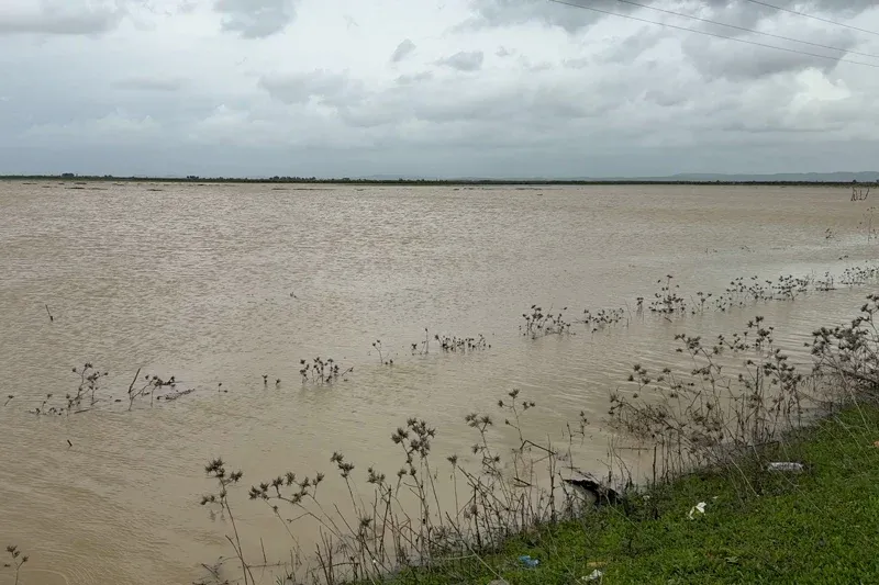
Yoad has indicated that the peak of these disturbances is anticipated to occur on Thursday and Friday, with thunderstorm clouds likely to develop over the Atlas Mountains, the Rif, and the eastern region. These thunderstorms could bring significant rainfall and localized hail, alongside strong wind gusts, particularly in the southeastern areas, with a risk of sandstorms and reduced visibility. On Thursday, the weather is expected to be relatively warm in the southeastern and southernmost regions, influenced by the extension of hot air masses. Meanwhile, strong thunderstorms may affect the Rif and the middle and high Atlas regions, as well as northern eastern areas and Oulmes. Scattered light rain is also forecasted for Tangier and the Atlantic plains north of El Jadida.
Winds are expected to be relatively strong in several areas, especially in the southeast, eastern regions, and desert provinces, with the possibility of dust storms occurring. Temperatures will vary, with relatively cool weather in mountainous areas ranging from 8 to 13 degrees Celsius, while the southeast could see temperatures reaching as high as 38 degrees. On Friday, unstable conditions will persist, with thunderstorms expected in the Rif, western Mediterranean coast, and middle Atlas, potentially extending to northern eastern regions. Light and sporadic thunderstorms may also occur in the Greater Atlas, Saïs, phosphate plateaus, and Oulmes. Strong winds will continue to be felt, especially in the southeast and southern eastern regions, with the possibility of dust storms in some areas.
By Saturday, relatively warm weather will remain in the southeast and southernmost regions, with continued thunderstorm activity in the Rif, along with potential light rain in northern eastern areas and the western Mediterranean coast. Strong gusts of wind are expected along the central and southern coasts. A relative increase in temperatures is anticipated in the north, while a slight decrease is expected in the south, reflecting ongoing thermal contrasts across the country. As the week progresses, from Sunday to Wednesday, the weather is expected to remain unstable, with low clouds and local fog, particularly in the northern Atlantic plains, Mediterranean coast, and northern southern provinces. Unstable conditions are likely to persist in the Atlas and Rif regions, especially at the beginning of the week. Temperatures are predicted to drop on Wednesday before either increasing or stabilizing in the following days.
In conclusion, Hussein Yoad has advised citizens to exercise caution, especially in areas affected by thunderstorms, due to the potential for hail and strong winds, in addition to dust storms that could impair visibility. He emphasized that these fluctuations are part of the typical characteristics of the spring season, which is marked by rapid changes in weather conditions and variability.
As reported by hespress.com.