
Apple Maps Mislabels Spanish Territories as Moroccan
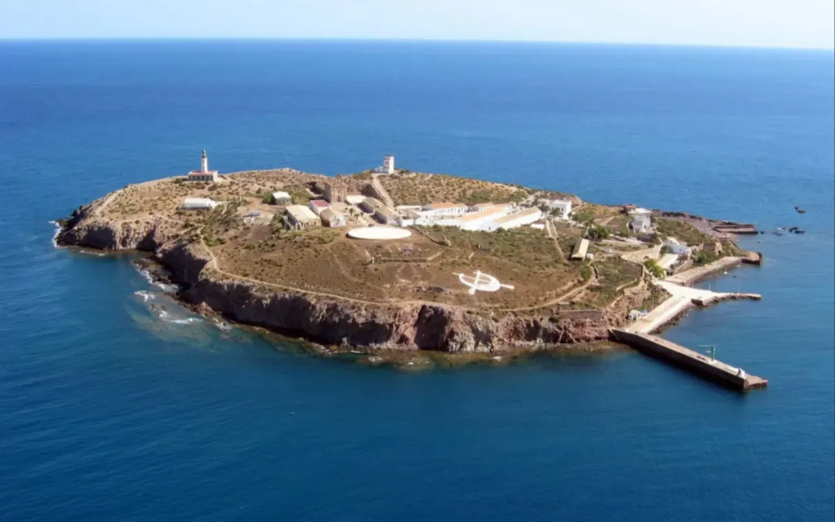
On August 21, 2026, Apple Maps generated significant controversy by depicting several territories administered by Spain but claimed by Morocco as part of Moroccan territory. This misrepresentation is particularly sensitive, given the ongoing dispute between Rabat and Madrid over the sovereignty of these enclaves in North Africa. Notably, the Chafarinas Islands and the rock of Al Hoceima have been identified as being associated with Morocco on Apple Maps, as highlighted by El Debate. The Spanish newspaper even published a screenshot showing the Chafarinas Islands explicitly marked within Moroccan territory.
The situation regarding Al Hoceïma is even more perplexing, as the information page includes a description from Wikipedia that asserts its affiliation with Spain, only to subsequently position it within Moroccan borders. Additionally, the rock of Vélez de la Gomera is similarly misrepresented, with Apple merely indicating its location in the Alboran Sea. These territories—Chafarinas, Al Hoceïma, and Vélez de la Gomera—are classified as "places of sovereignty" governed by Madrid yet contested by Rabat.
Heightened Tensions Surrounding Territorial Claims
Spain maintains heightened military vigilance over these small territories, with its armed forces increasing operations for presence and surveillance in the area, particularly around the Chafarinas Islands, where a permanent military detachment is stationed. The territorial question has regained prominence following statements from Moroccan Justice Minister Abdellatif Ouahbi, who reaffirmed that Rabat continues to mention Ceuta and Melilla in discussions with Spain. This backdrop makes Apple Maps' portrayal of territories that Madrid asserts sovereignty over particularly sensitive in Spain. However, there is no indication that this reflects Apple’s stance; El Debate itself characterizes the display as a cartographic error, which has been interpreted differently by Moroccans.
As reported by bladi.net.