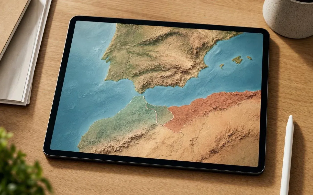

Amidst a migration crisis surrounding Ceuta and rising tensions between Madrid and Rabat, **Apple Maps** finds itself embroiled in an unexpected geopolitical controversy. The mapping application from **Apple** inaccurately depicts three Spanish micro-territories as being part of Morocco.
The **Chafarinas Islands**, **Peñón de Vélez de la Gomera**, and **Peñón de Al Hoceïma** are shown as integrated into the Moroccan kingdom, complete with Arabic names and borders aligned with those of Morocco. This situation has sparked a heated debate regarding how digital maps influence public perception of borders, particularly the Spain-Morocco boundary.
Apple Maps Redefines the Spain-Morocco Border: What Do the Maps Really Show?
When users zoom in on the Chafarinas archipelago within **Apple Maps**, the interface displays the names in Arabic and incorporates the islets within Moroccan delimitations, despite the fact that they have been administered by Spain since 1848. The same treatment is given to **Peñón de Alhucemas** and **Peñón de Vélez de la Gomera**, which are currently under the protection of the Spanish military.
In contrast, competitors like **Google Maps** and OpenStreetMap typically maintain these enclaves as Spanish territory or indicate a disputed status. This incident recalls a previous occurrence in 2010 when Google Maps briefly labeled the Perejil islet and the Chafarinas as Moroccan before reverting its position. With approximately 500 million monthly users, the representation in **Apple Maps** significantly impacts public perception regarding this stretch of the Spain-Morocco border.
Why Do the Chafarinas Islands and Peñones Being Shown as Moroccan Frustrate Madrid?
These rocks and islets are part of the **Spanish enclaves** in North Africa, which include Ceuta and **Melilla**. Located just a few kilometers from Moroccan shores, they are periodically claimed by Rabat as part of the **"Greater Morocco"** doctrine, which also encompasses the two continental enclaves.
Historically, Vélez de la Gomera has been occupied by Spain since 1508, Alhucemas since 1673, and the **Chafarinas Islands** since 1848. Their status is further solidified by the Treaty of Peace and Friendship signed in 1860 between Spain and Morocco, and these territories do not appear on the UN list of areas designated for decolonization. The permanent Spanish military presence, particularly on the Chafarinas, starkly contradicts the image projected by **Apple**'s application.
Currently, the Cupertino-based company has not clarified what led to this representation. Analysts speculate that it may be due to faulty data imports from external mapping sources, while others suggest it aligns with requests from certain states. Spanish media encapsulates the sentiment with a straightforward remark: "La situación irrita a Madrid" (The situation irritates Madrid).
**Apple Maps**' history reveals that the company sometimes adjusts its borders according to the country of consultation. For instance, Crimea appeared as Russian for users in Russia, while it was clearly marked as Ukrainian for the rest of the world following 2022. This precedent raises questions about **digital mapping policies and sovereignty** pursued by the tech giant.
In this case, digital diplomacy intersects with everyday usage: for many iPhone users in Europe, what appears on the map equates to reality. Until a potential correction is made, travelers, journalists, or simply curious individuals can report a "map error" directly in the app and compare it with other services when it comes to disputed territories. It remains to be seen whether **Apple Maps** will swiftly rectify the portrayal of these Spanish enclaves in North Africa or if the map will continue to present a Moroccan perspective for the time being.
As reported by lacremedugaming.fr.