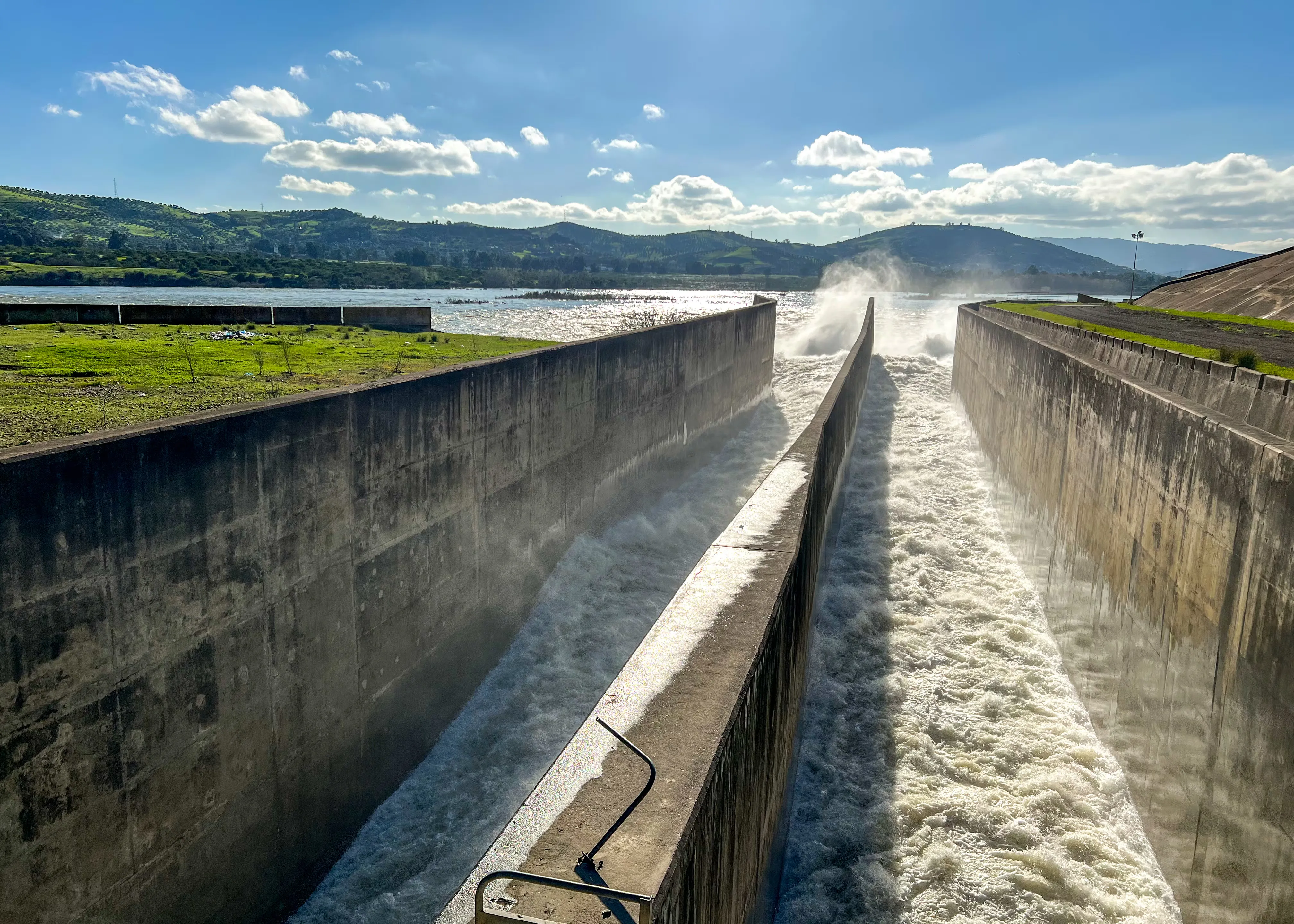

Understanding the Current State of Moroccan Reservoirs
According to the platform “Lama Dialna,” which is affiliated with the Ministry of Equipment and Water, the process involves the evaluation of the Oued Makhazine Dam located in the Larache region, an essential structure within the Loukkos Basin that boasts a storage capacity of approximately 672.8 million cubic meters. During the last rainy season, this dam experienced an extraordinary situation where its capacity exceeded normal levels starting from January 6, 2026. The water level in its reservoir rose by four meters above the historical maximum recorded since the dam's operational start in 1972, yet there were no unusual disturbances reported regarding the facility or its equipment. The study also encompasses the Sharif Idrissi Dam in the Tetouan region, with a storage capacity nearing 121.6 million cubic meters, and the smaller Nakhlah Dam, which can hold about 4.21 million cubic meters. These reservoirs play a crucial role in mobilizing water resources and securing the needs of the surrounding areas. Therefore, understanding the volume of sediment accumulation within their reservoirs is vital for accurately updating their effective storage capacities.
Examining the Hydrological Improvements and Challenges Ahead
In the Sebou Basin, the Al-Wahda Dam, located on the Oued Rghaff in the Wazan region, stands out as one of the largest dams in Morocco, with a storage capacity exceeding 3.52 billion cubic meters. It witnessed an exceptional rise in inflows during the last water season, with approximately 3.809 billion cubic meters recorded between September 1, 2025, and February 14, 2026, which is equivalent to 169% of the average for a normal year. On February 13, 2026, the reservoir's filling rate was about 93.56%, necessitating proactive management of inflows through regular discharge operations to maintain the structural integrity of the facility and accommodate any new inflows. This initiative also includes the Al-Mansour Al-Dahabi Dam on the Oued Draa in the region of Ouarzazate, as well as the Hassan Al-Dakhel Dam on the Oued Ziz, alongside several other dams such as Ghiess, Mohammed V, Oued Za, and Mchirrat Hamadi in the eastern region. These structures vary in terms of reservoir size and the nature of the basins feeding them, which consequently affects the amount of sediment they may accumulate due to soil erosion and surface runoff during heavy rainfall, thereby necessitating separate and accurate assessments for each reservoir's condition.
This assessment is particularly relevant given the significant hydrological improvements observed during the previous season, with recorded water inflows across various dams in Morocco totaling approximately 5.829 billion cubic meters between September 1, 2025, and January 28, 2026. Notably, more than 5.407 billion cubic meters of this amount was recorded from December 12 to January 28 alone, accounting for about 92.76% of the total inflows since the season began. Consequently, the average filling rate of the reservoirs increased from 31.1% on December 12 to 75% by the end of May last year. However, behind these figures regarding stored water lies another set of statistics that do not appear in daily filling reports, relating to the volume of sediment that has settled at the bottom of the dams over the years. As rain and surface runoff carry varying amounts of soil and sediment into the rivers, a portion settles within the reservoirs, gradually diminishing the available storage capacity. Therefore, the new study aims to measure this accumulation and compare it with previous data to ascertain the extent of sedimentation.
To achieve this, the process will utilize precise bathymetric and topographic surveys to measure the depths, areas, and volumes of water within the reservoirs, alongside various techniques for both deep and shallow areas, allowing for the reformation of the reservoir’s bottom topography and the creation of accurate digital models. The comparison of new measurements with previous campaigns will enable the identification of the areas experiencing the greatest accumulation of sediment and the assessment of sediment volume development within each dam. Moreover, efforts will be made to explain the sources and factors contributing to this sediment transport, especially during periods of heavy rainfall and flooding. This data will be instrumental in determining the actual remaining storage capacity of each reservoir, rather than relying solely on the theoretical capacity recorded at the time of the dam's construction.
Particularly detailed analyses will focus on the reservoirs of Sharif Idrissi and Ghiess, incorporating hydrological and sedimentological modeling to simulate surface runoff, soil erosion, and solid material transport within the water basins. These models will consider a range of data related to topography, rainfall, temperature, wind, humidity, and land use while also benefiting from high-resolution satellite imagery. The work will be divided into two groups, each comprising five dams, with the completion of each group expected to take eight months. The total estimated cost of the study is around 7.66 million dirhams, divided between 4.86 million dirhams for the first phase, which includes the Oued Makhazine, Sharif Idrissi, Nakhlah, Al-Wahda, and Al-Mansour Al-Dahabi dams, and approximately 2.80 million dirhams for the second phase concerning the Ghiess, Mohammed V, Oued Za, Mchirrat Hamadi, and Hassan Al-Dakhel dams.
The significance of this current assessment lies in the fact that understanding sediment volume not only allows for determining the quantity of storage capacity lost by the reservoirs, but also provides a foundation for making subsequent decisions regarding the protection of the dams from sedimentation or the restoration of part of their storage capacity. This is particularly relevant as scientific studies on Moroccan dams affirm that regular monitoring of sediments and reliance on bathymetric measurements are essential for updating storage curves and determining the evolution of sedimentation and the effective capacity of the reservoirs. Thus, the relevant authorities are preparing for the upcoming rainy season not only by monitoring filling levels and water inflows but also by updating the map of what lies beneath the water's surface to understand the actual storage space available within each dam and to identify areas most prone to sediment accumulation. This information will provide a technical basis for managing future inflows more accurately and preserving as much of the storage capacity of these vital water structures as possible.
As reported by ar.le360.ma.