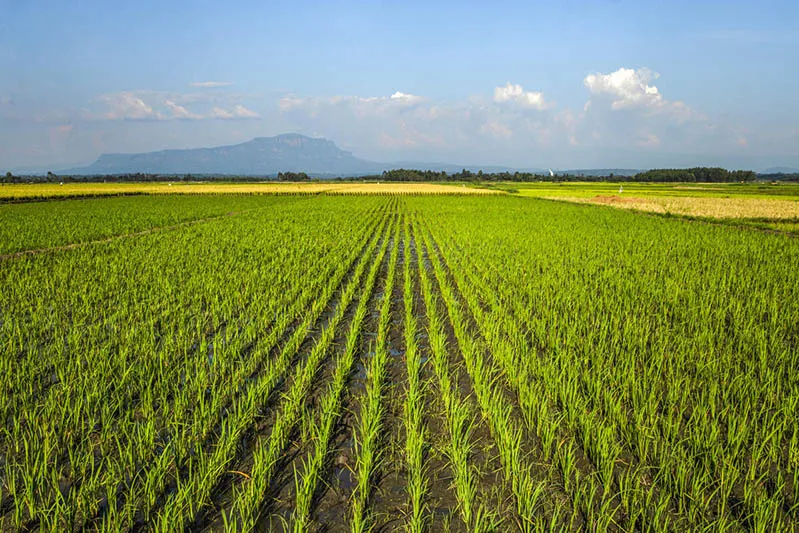

Overview of the Ground-Truth Dataset for Moroccan Agriculture
In an effort to improve our understanding of land-atmosphere interactions and to effectively monitor agricultural dynamics in semi-arid environments, a significant dataset has been compiled that provides essential information on crop types and irrigation systems in Morocco. This dataset, which is now available for public access, encompasses detailed geolocation data from 10,000 agricultural parcels collected across five key agricultural regions in Morocco, namely El Gharb, Tadla, Doukkala, El Haouz, and Souss. The data collection process took place between December 2023 and January 2025, offering a comprehensive view of Morocco's agricultural landscape.
The dataset includes information on 45 different crop types, representing both seasonal staples like wheat, corn, and alfalfa, as well as perennial crops such as olives, citrus fruits, and argan trees. Additionally, it documents six irrigation systems ranging from traditional flood irrigation methods to modern pivot irrigation systems, showcasing the rich diversity of Moroccan agro-ecosystems. Field data were meticulously gathered using the GIS-based mobile application QField, which ensures high positional accuracy and provides detailed attributes for each agricultural parcel. Furthermore, to validate the consistency of the dataset, the Normalized Difference Vegetation Index (NDVI) values were analyzed across all surveyed plots throughout 2024, revealing coherent seasonal trends in agricultural activities.
Each entry in the dataset is supplemented with a geo-referenced photograph, enhancing the visual context and allowing for better validation of the information provided. The open-access nature of this dataset serves as a high-quality reference for calibrating and validating Earth Observation (EO)-based mapping products related to crop types and irrigation practices. By accurately representing the diversity of cropping systems and irrigation methods across Morocco’s various climatic zones, this dataset serves as a crucial resource for advancing EO-driven agricultural monitoring, supporting policy evaluations, and promoting sustainable land and water management practices both within Morocco and throughout the broader North African region.
Implications for Agricultural Research and Sustainability
The availability of this comprehensive dataset plays a pivotal role in supporting research and analysis focused on agricultural crops and irrigation practices in Morocco. By providing accurate and detailed data, researchers and policymakers can better understand the dynamics of agricultural production, which is essential for making informed decisions that address the challenges posed by climate change, urban expansion, and resource competition.
Furthermore, as the dataset is freely accessible, it encourages collaboration among scientists, agronomists, and environmentalists, fostering an environment of shared knowledge that can drive innovative solutions to enhance agricultural sustainability. The implications of this research extend beyond Morocco, as the insights gained from this dataset can inform similar studies in other semi-arid regions, ultimately contributing to global efforts aimed at sustainable agricultural practices.
As reported by nature.com.