
Heightened Vigilance Due to Forest Fire Risks in Taza Region
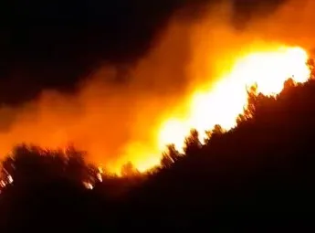
The Taza region is currently facing an increased risk of forest fires, prompting local authorities to elevate their state of alert. This escalation comes as temperatures rise and vegetation dries out during the summer months, creating conditions conducive to wildfires. The National Forests and Water Agency has issued predictive maps assessing the level of fire risk across various municipalities within Taza, considering factors such as the type of forest cover, susceptibility to ignition, weather forecasts, and local terrain.
Recent data indicates that the Taza region is classified within the highest risk category. In light of this alarming situation, the agency has urged residents living near forested areas and those working within them to refrain from lighting fires or discarding cigarette butts and other flammable materials. Immediate reporting of any smoke or suspicious activity that could threaten forested areas is also strongly encouraged.
The agency regularly produces predictive maps to assist intervention teams and local authorities in identifying the most vulnerable areas, thereby guiding monitoring efforts and early response initiatives. The Taza region boasts extensive forested areas, particularly in the districts of Aknoul-Tizi, Bouarou, and the southern regions of Khnifra, Tahlia, Zararda, and Taza-Mghrawa. This expansive greenery underscores the importance of swift preventative measures and effective intervention strategies to mitigate environmental and economic losses from potential wildfires.
As reported by alhadattv.ma.