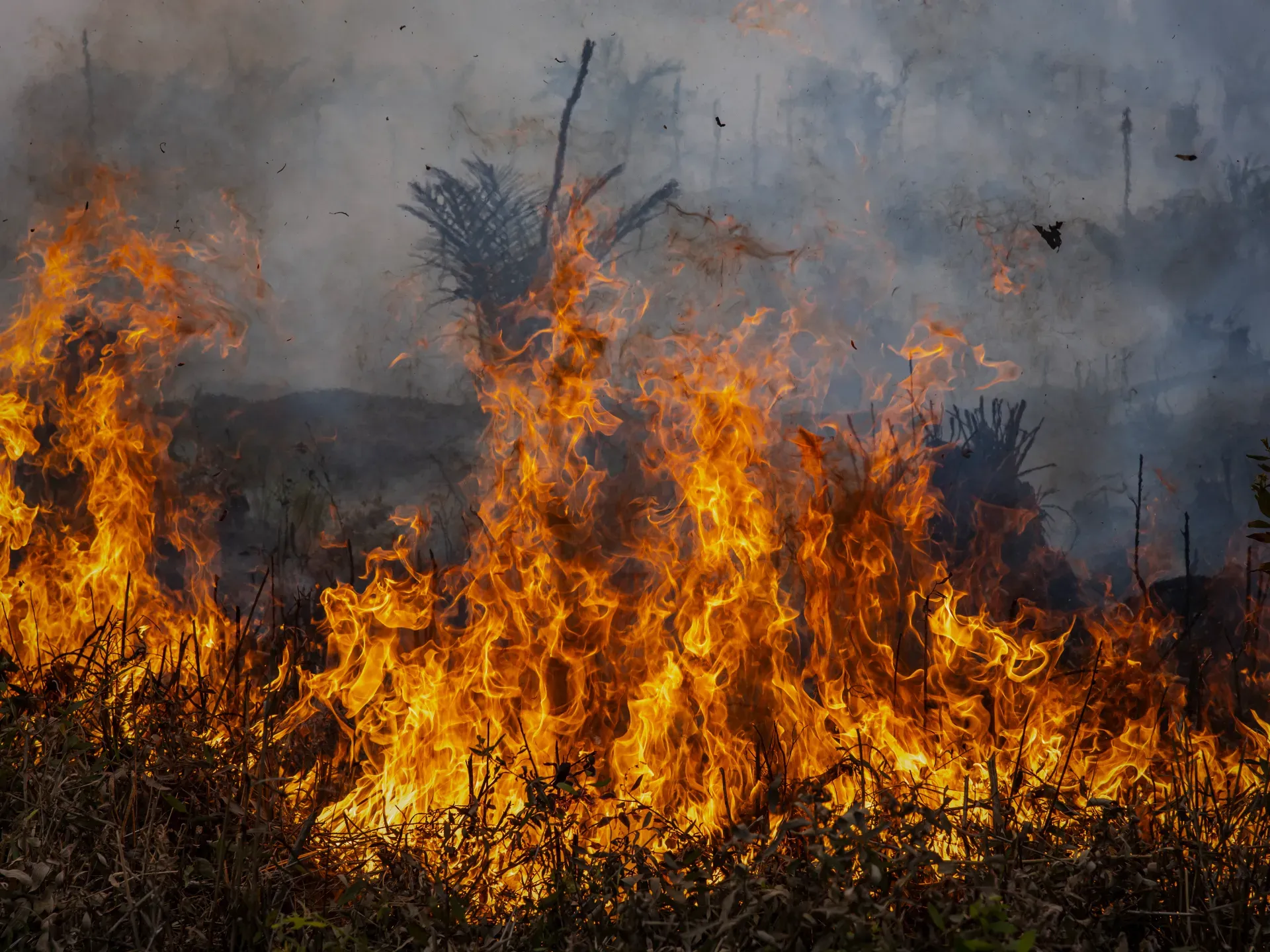

A significant wildfire erupted on Friday, July 10, in the Oufous Oasis located in the Errachidia region of southeastern Morocco, resulting in the destruction of more than 1,000 palm trees. Among these, approximately 600 trees were completely burned, according to Morocco's Second Channel. Firefighting efforts continued late into the night, involving over 180 personnel from various agencies and local residents, thankfully without any reported human casualties.
Satellite images captured by Planet on July 9 and July 12 have been analyzed by Al Jazeera's Open Source Unit, revealing a large dark patch within the oasis's vegetation belt following the fire. This charred area is estimated to cover around 712,000 square meters.

Visual comparisons indicate that the image taken on July 9, just one day before the blaze, shows a nearly continuous expanse of palm trees and agricultural lands amidst the surrounding desert areas, devoid of the dark patch that appeared in the subsequent image.
Impact of the Fire
The photograph taken on July 12 displays the aftermath of the fire as a sinuous, elongated strip stretching through the middle of the oasis, widening notably in the central region before branching out near the northern part of the vegetation belt. The images also show a color change in portions of the vegetation within this area, transitioning from green to various shades of brown and dark hues. Some limited pockets of vegetation and farms remain intact between the damaged regions, suggesting that the extent of damage is inconsistent throughout the observed area.
The fire's impact lies amid a network of farms and local paths, close to residential clusters that are scattered on either side of the oasis, particularly in the central and northern sections. These observations align with reports from local news sources, such as Errachidia 24 and Al-Amq Al-Maghribi, which stated that the fire ignited in the Takhyamt area before spreading to parts of the Kara Palace and reaching the vicinity of the new palace. The thick smoke prompted several families to evacuate their homes as a precaution.
Measurements based on the delineation of the area showing a clear visual change between the two images reveal an estimated size of approximately 712,000 square meters. This figure reflects the extent of the fire's impact as observed from space but does not imply that all trees and lands within this area were completely burned, nor does it represent a conclusive field assessment of agricultural losses or damaged properties.

Local officials, speaking anonymously as they were not authorized to speak to the media, reported to Anadolu Agency that the fire resulted in no human casualties and that the exact size of the affected area had yet to be determined as firefighting operations continued.

Heatwave and Warnings
The Oufous fire coincided with a heatwave sweeping across several Moroccan regions, alongside warnings issued by the National Agency for Water and Forests regarding an increased risk of wildfires reaching critical levels in 12 provinces, with temperatures expected to soar up to 46 degrees Celsius in some areas. In a broader context, Morocco recorded a total of 418 forest fires in 2025, burning an area of 17.28 million square meters, reflecting a 65% decrease compared to the average of the previous decade, with shrub and herb formations accounting for approximately 33% of the burned areas, according to data from the National Agency for Water and Forests.
Satellite imagery provides an initial assessment of the spatial extent of the Oufous fire's impact, while pinpointing the precise area of land that was completely burned and the number of damaged trees and properties remains contingent on the results of field assessments being conducted by the authorities.
As reported by aljazeera.net.