
Casablanca-Settat Launches Initiative for Agricultural Land Protection
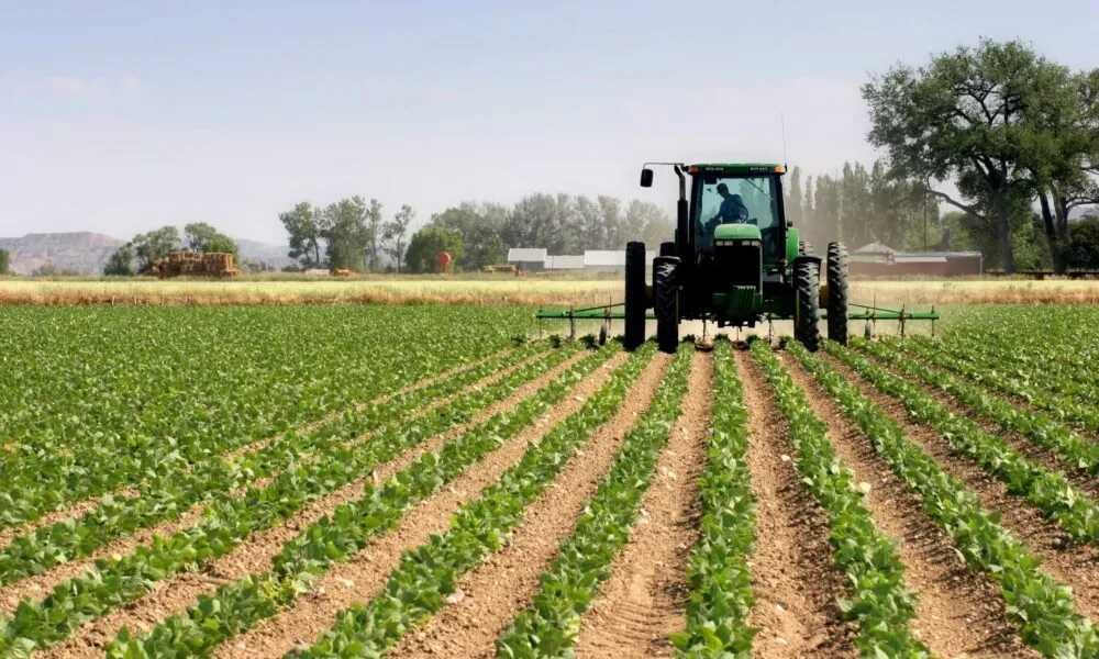
The Casablanca-Settat region is set to enhance its agricultural management through the introduction of a Geographic Information System (GIS) that will monitor and classify agricultural lands. This ambitious project aims to categorize agricultural land into three distinct classifications, thereby identifying high-potential areas that require protection. The Department of Agriculture in the region has recently issued an international call for tenders to develop this regional agricultural map, with an estimated budget exceeding 3 million dirhams. The tender submission deadline is scheduled for September 22, 2026. This initiative reflects the region's commitment to sustainable agricultural practices and the preservation of its most fertile lands, ensuring that they are utilized effectively while safeguarding them from potential degradation.
As reported by lavieeco.com.