
UN General Assembly Votes for a New World Map
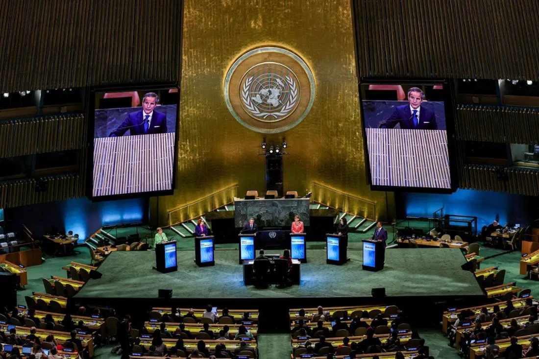
In a landmark decision at the United Nations headquarters in New York City, the General Assembly has recently voted to adopt a new world map that accurately represents the sizes of continents. This vote marks the culmination of a prolonged campaign aimed at altering the conventional view of the Earth. A total of 164 nations supported the initiative, while only the United States opposed it. Estonia, Georgia, Lithuania, Morocco, Serbia, and Ukraine abstained from the vote. Notably, the new projection depicts the United States as smaller compared to traditional maps, a fact that seems to conflict with the Trump administration's desire to project strength through cartographic representation.
Understanding the Implications of Map Projections
The decision to revise the world map comes in light of well-documented issues regarding the inaccuracies present in flat maps. The Mercator projection, developed in the mid-16th century by Flemish cartographer Gerhard Mercator, was designed to aid sailors in plotting straight-line courses across the curved surface of the Earth. While it accurately depicts the shapes and angles of landmasses, it significantly distorts their relative sizes. For instance, regions near the poles appear larger than they are, while equatorial regions seem relatively smaller. This distortion leads to misconceptions, such as the erroneous perception that Greenland is as large as Africa, despite the African continent being approximately 14 times larger.
The newly adopted Equal Earth projection aims to provide a more accurate depiction of continental sizes, serving as a viable alternative that enhances the precision of world maps. Togo's Foreign Minister, Robert Dussey, emphasized the profound impact maps have on our understanding of the world, influencing education, sparking imagination, and shaping collective perceptions. In line with this initiative, Togo will replace the maps used in schools by the end of the year, with France indicating it will follow suit shortly thereafter. Historians and geographers have long argued that the Mercator projection is deeply rooted in Western stereotypes, a viewpoint that has been echoed by activists who coined the term "cartographic colonialism". They contend that this projection has skewed international power dynamics by minimizing the physical representation of the Global South.
While the UN General Assembly's resolution is not legally binding and changing maps will not alter the world itself, the consensus among the majority of nations—currently preoccupied with a myriad of other issues—seems to be: why not? Nevertheless, it is important to note that the Mercator projection remains entirely suitable for maritime and aerial navigation, maintaining its relevance in specific contexts.
As reported by fr.de.