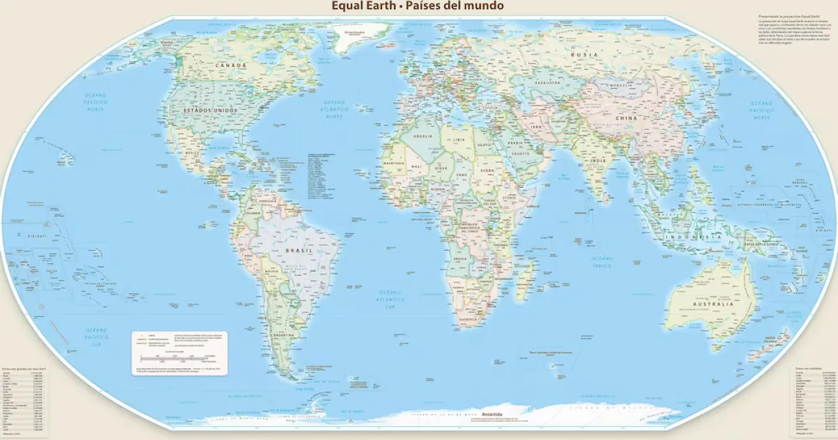
The United Nations General Assembly took a significant step towards enhancing global cartographic accuracy by adopting a resolution that endorses the use of more precise world maps, particularly advocating for the Equal Earth projection. This landmark decision, made on September 5, 2026, preserves the distinct representation of Western Sahara, clearly differentiating it from Morocco. The resolution, aptly titled “Correct the map: rebalancing global cartographic representation and promoting equitable representation of the world’s regions, particularly Africa,” received overwhelming support, with 164 votes in favor, one against, and six abstentions, the United States being the sole nation to vote dissentingly.
Initiated by Togo on behalf of the African Group and bolstered by the African Union, this resolution aims to rectify the distortions associated with the widely utilized Mercator projection. This traditional projection has been criticized for disproportionately enlarging territories situated at higher latitudes while diminishing the visual representation of Africa and equatorial regions. The resolution advocates for governments, international organizations, educational institutions, and various other stakeholders to adopt equal-area projections, with a particular emphasis on the Equal Earth projection, which offers a more balanced depiction of the comparative sizes of continents and regions.
It is crucial to note that the resolution is not legally binding and does not alter international borders or the legal status of any territories. Furthermore, it does not restrict the use of the Mercator projection for maritime and aerial navigation, where it continues to be of practical utility. However, the significance of this resolution for the Western Sahara issue cannot be overstated, as it reinforces the longstanding practice of distinguishing the territory from Morocco in UN representations. The separate depiction of Western Sahara in cartographic materials aligns with the international community's acknowledgment of the territory's distinct status.
During the assembly's deliberations, Togo underscored the broader political and educational ramifications of accurate cartographic representations. The country argued that maps play a pivotal role in shaping how societies perceive the world, positing that improved accuracy in mapping can foster a more equitable understanding of Africa and other regions that have historically been marginalized by conventional projections. The resolution also includes a call for ongoing monitoring of its implementation and encourages a wider discourse on incorporating accurate cartographic representations into educational resources, official documents, media, and digital platforms.
For advocates of the Sahrawi cause, the passage of this resolution is a notable symbolic victory, as it affirms the distinct status of Western Sahara in the context of international diplomacy. By maintaining a clear separation between the territory and Morocco in maps and institutional frameworks, the resolution bolsters the ongoing struggle for recognition and representation of the Sahrawi people on the global stage.
As reported by spsrasd.info.