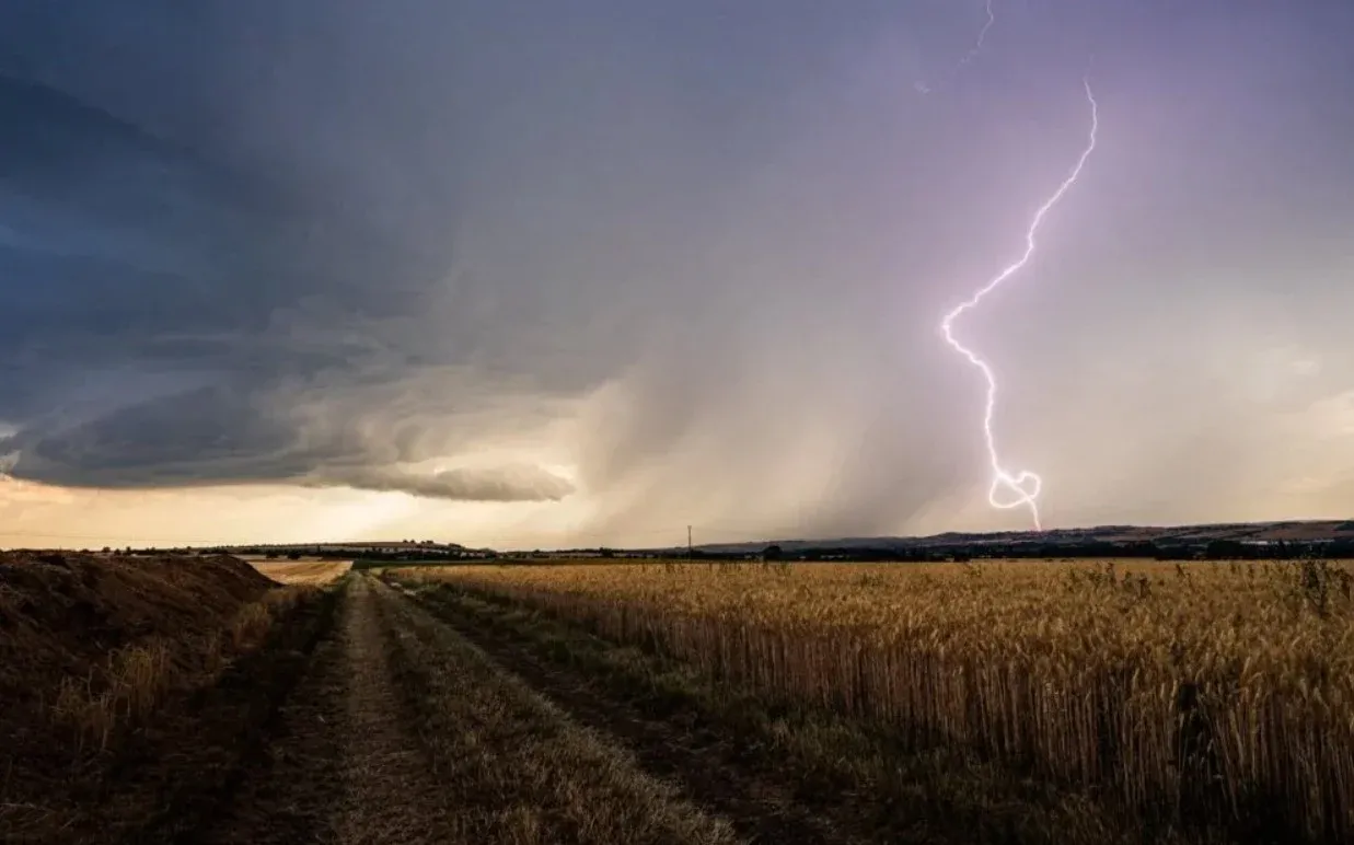

September Weather Patterns in Morocco
The onset of September in Morocco has been marked by a series of weather alerts, characterized by an unusual blend of persistent heatwaves and sporadic thundery showers. This juxtaposition of weather phenomena raises questions about the potential influence of the El Niño phenomenon on these climatic conditions. As the month unfolds, it feels akin to the height of summer, a sensation reinforced by the fact that the astronomical summer continues until September 21. Consequently, we observe elevated temperatures that, while typical for this time of year, are particularly striking in their intensity.
To fully grasp the underlying reasons for this climatic behavior, it is essential to acknowledge the profound impacts of global warming on our weather patterns. The climate we once recognized has undergone significant transformation, evolving continuously since approximately the years 2006 to 2010. This new climatic reality is characterized by surpassing temperature thresholds due to a persistent energy imbalance affecting our planet. The crux of the issue lies in the fact that this imbalance shows no signs of arresting or stabilizing; as it continues unabated, we can expect temperatures to rise correspondingly.
Global Energy Imbalance and Its Local Effects
This situation represents a worldwide challenge, influencing numerous regions, particularly those in close proximity to Morocco. In examining the broader context, North Africa and the Iberian Peninsula emerge as regions experiencing the brunt of this excessive energy balance, while France, in contrast, appears to be experiencing a negative balance, leading to cooler temperatures. This global energy ridge facilitates the persistence of high energy levels, further augmented by the establishment of the Azores anticyclone in this region. Consequently, the combination of this energy balance and the overarching effects of global warming, coupled with the influence of El Niño, results in elevated temperatures.
Moreover, the accumulation of heat within the equatorial zone is progressively migrating toward subtropical areas, including North Africa, bolstered by the upward flows instigated by the Azores anticyclone that elevate temperatures physically. The forecasts from the World Meteorological Organization (WMO) indicate that this phenomenon is likely to persist until 2027, leading to concerns about the prospects of an unusually dry winter characterized by limited rainfall, diverging from the cold season experienced this year.
As El Niño continues to develop as anticipated, it is vital to clarify that while this phenomenon does not generate heat, it redistributes thermal energy from the western Pacific. The resultant heat now permeates the equatorial region, expanding the interaction area between the ocean and the atmosphere. This has triggered a significant transfer of heat, pushing energy both northward and southward, which contributes to above-normal global temperatures, including those recorded in Morocco.
Furthermore, a potential shift in the Azores anticyclone due to El Niño could lead to a diminishment in rainfall, pushing us into another phase of drought. This scenario may disrupt the rains typically expected in late 2025 and early 2026. Meanwhile, forecasts suggest a heightened frequency of showers this autumn, as the combination of persistent atmospheric heat and water vapor could result in severe precipitation events. Under these conditions, even a slight drop in temperature could catalyze intense showers with potentially damaging effects.
As reported by en.yabiladi.com.