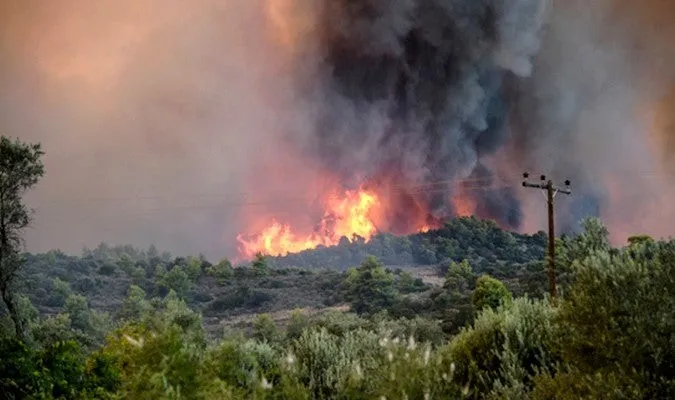

Proactive Measures Against Forest Fires in Morocco
The National Agency for Water and Forests has announced that from September 11 to 15, it will release scientifically-based predictive maps that accurately identify vulnerable areas at risk of wildfires across the nation. This initiative aims to proactively address the phenomenon of forest fires, which pose a significant threat to both the environment and local communities.
In a recent statement, the agency detailed that it has conducted a thorough analysis of various data points, particularly focusing on the type of forest cover, its flammability and combustibility, as well as climatic forecasts and the topographical conditions of different regions. As a result, they have identified areas of extreme hazard in the provinces of Al Hoceima, Tangier-Assilah, Taounate, Taza, Essaouira, and Taroudant.
Furthermore, elevated risk levels have been established in the provinces of Al Hoceima, Chefchaouen, Larache, Ouezzane, Tetouan, M'diq-Fnideq, El Hajeb, Sefrou, Moulay Yacoub, Kenitra, Sidi Kacem, Sidi Slimane, Khmissat, Rabat, Sale, Skhirat-Témara, Azilal, Beni Mellal, Benslimane, Settat, Mohammedia, Nouaceur, Al Haouz, and Agadir-Ida Ou Tanane. Meanwhile, a moderate risk level has been identified in the provinces of Driouch, Nador, Taourirt, Jerada, Meknes, Ifrane, Khenifra, and Midelt.
In light of these findings, the National Agency for Water and Forests is urging residents living adjacent to forested areas, as well as those working in or visiting these regions, to remain vigilant and exercise caution. It is crucial for individuals to avoid any activities that could potentially ignite a fire and to promptly report any sightings of smoke or suspicious behavior to local authorities.
As reported by agadirinfo.ma.